

SUGARCAMP MOUNTAIN TRAILS
Prestonsburg, Kentucky
Description
About the trail system.
Overview
Nestled deep within the mountains of Eastern Kentucky, the Sugarcamp Mountain Trail system is a multi-use (mountain biking, hiking, & horse) facility created through a joint effort by Jenny Wiley State Resort Park and the city of Prestonsburg. Sugarcamp includes roughly 6 miles of horse-friendly, machine-built trail which provides spectacular views of Dewey Lake and the surrounding area; as well as an additional 20 miles of hand-carved, technical singletrack dedicated to mountain biking & hiking. Trail difficulty varies (and is indicated at all trailheads), but at least an intermediate skillset is required to navigate all trails within the property.
Sugarcamp Mountain Trailhead
The Sugarcamp Mountain Trailhead is located along Sugarcamp Mountain Road (formerly Meff Road and may still be marked as such on maps), near Stonecrest Golf Course and provides access to the upper reaches of the trail system without the long ascent associated with the Arrowhead Point Trailhead. Sugarcamp Mountaint Road is located along KY Route 3024, which is accessible from both Prestonsburg and the Jenny Wiley State Resort Park. This trailhead provides several connection options, which include either a clockwise or counter clockwise route on the multi-use trail, or a unique singletrack connection with the Escalator Trail.
Arrowhead Point Trailhead
The Arrowhead Point Trailhead is located along KY Route 302 (Lake Road), approximately 1 mile from the Jenny Wiley State Park campground entrance. This trailhead provides access to any of the singletrack trails via the multi-use trail, although some ascent is necessary when heading either direction. If climbing isn’t your cup of tea, it is highly recommended to do the 5 minute shuttle to Sugarcamp Mountain Road and access the trails from the Sugarcamp Mountain Trailhead. Shuttle service will soon be provided by the State Park, information will be provided when that service becomes available.
Individual Trail Breakdown
For a detailed description and interactive map of every trail on the system, visit the trail page at MTBProject.com.
News and Events
Join our group page on Facebook for all the most up to date info on events and news on the trails. Follow us at https://www.facebook.com/groups/1571257249864871/
Also, be sure to check out our Twitter and Instagram feed below for the latest info on upcoming events and trail conditions.
Donate via our Patreon Page!
Remember, the entirety of this trail system is created and maintained by volunteers. Become a member of our Patreon Page as a way to donate to our trail builders to help maintain the system. We have a number of tiers to join and every dollar you give will be used directly on the trail. Patreon is also a way to allow us to offer you something in return for your donation. Thanks!
Trail Map
How to get from here to there.

Click the above map to access Trail Forks
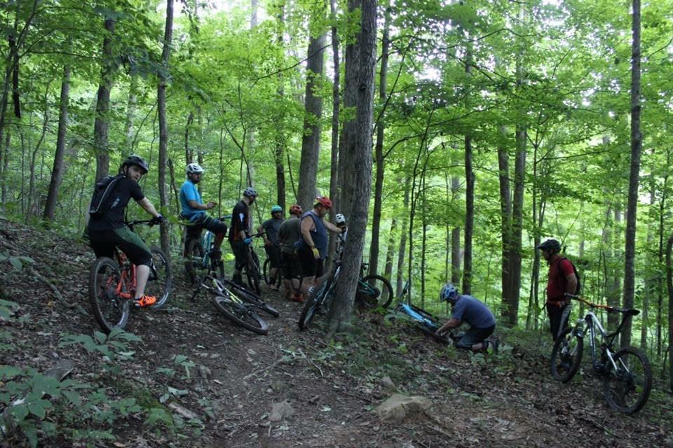
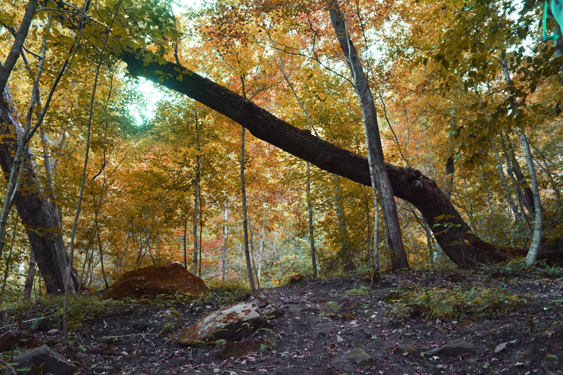
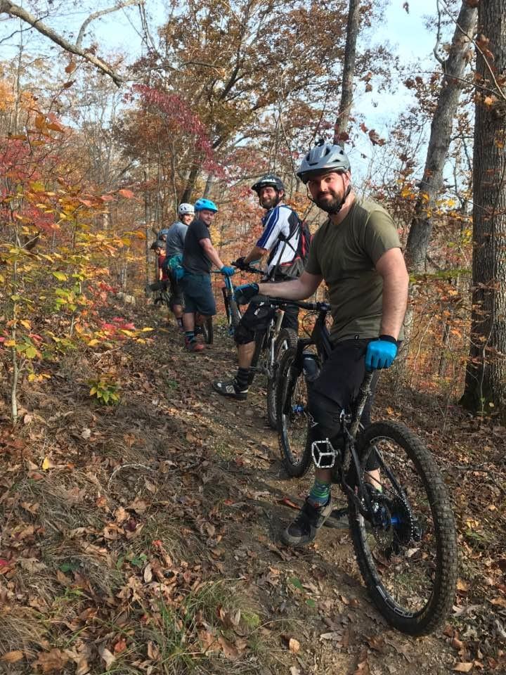
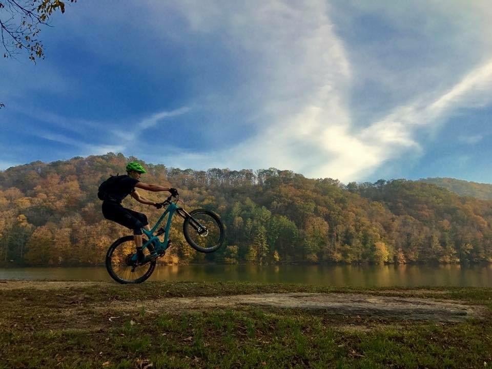
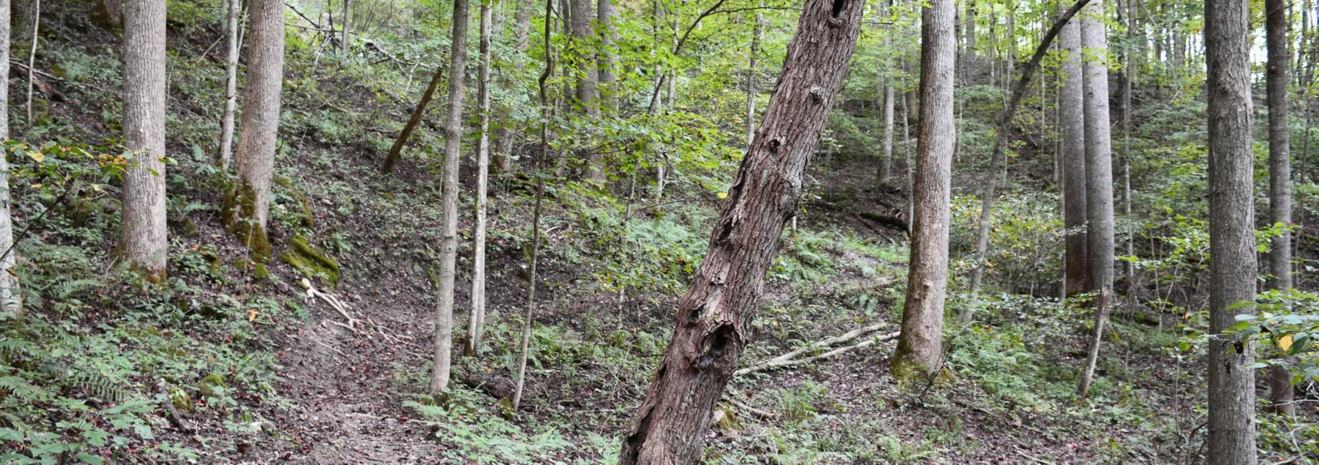
Image Gallery
The view from the trail. Click any image for larger version.


Videos
Enjoy.
Recommended Climbing Route
We get asked a lot about climbing routes for the trail and this is one we tend to use a lot so we put together a short video guide.
No Ripcord
New downhill route for the 2021 season.
Wampus Cat and B-Line Downhill Run
Unedited POV run of Wompus Cat and B-Line to the campground
2019 Update
Video showcasing the newest additions to the trail system including B-Line and Playground features now located at the Sugarcamp Mountain Trailhead.
"Sugar"
A fun little edit of some random clips around the trail system.
2015 Edit
An older edit of some of the trails. A lot has changed since this video was made.
Social Feed
Stay up to date on events and news.
Directions
Sugarcamp Mountain Trailhead (Meff Rd. has recently been changed to Sugarcamp Mountain Rd. This change has not yet been reflected on Google Maps)

Special thanks to People for Bikes. Click their logo above to visit their website and consider making a donation.


© 2019 Designed by Matt Turner